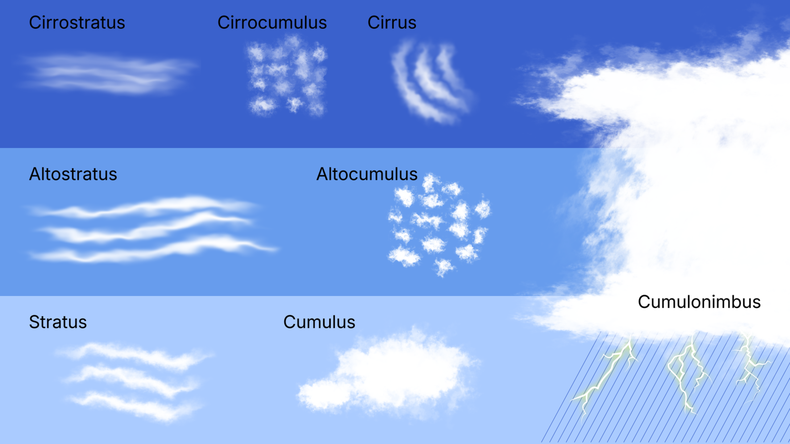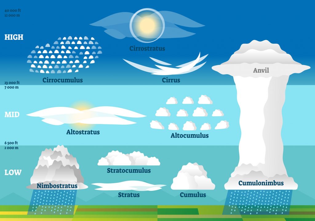

The ten major cloud types are divided into high-level, mid-level, low-level, and clouds with vertical development, reflecting their formation altitude and structure.
Each type exhibits distinctive physical and visual characteristics and provides insight into the atmospheric processes at work.
High-Level Clouds
-
Cirrostratus Clouds

Cirrostratus are high, veil-like ice-crystal clouds that spread diffusely and often produce halos around the sun or moon. They form under gentle ascent near warm fronts. Their name solidified in standard cloud atlases from the late 19th century, and they feature in halo folklore.
-
Cirrocumulus Clouds

Cirrocumulus are small, finely textured clouds of ice crystals in a high layer, appearing as ripples or patchwork. They form under weak vertical motion. The term was formalised in 19th-century cloud atlases, and the “mackerel sky” phrase has long circulated in folk weather lore.
-
Cirrus Clouds
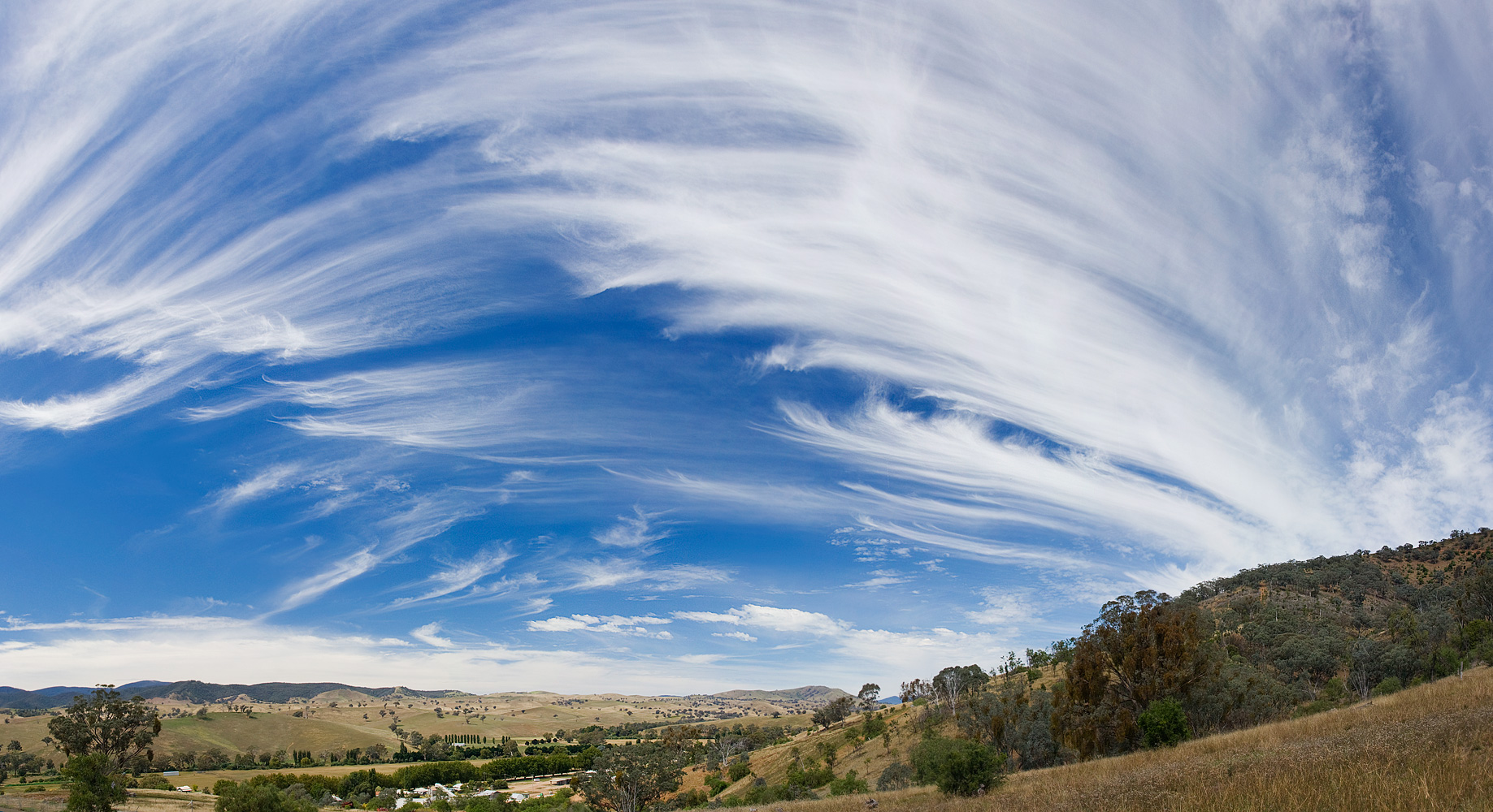
Cirrus are high, ice-crystal, filamentous clouds forming in cold, moist upper tropospheric conditions. They act as harbingers of weather change. Named scientifically in the early 19th century by Luke Howard, they have long been used in art and poetry to evoke sky texture.
Mid-Level Clouds
-
Altocumulus Clouds
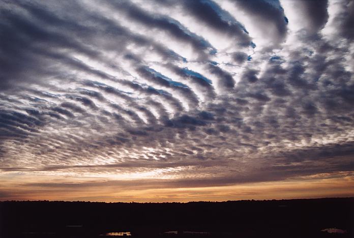
Altocumulus are mid-level, patchy, somewhat convective clouds forming in moist layers with slight instability. They often show patterns or grouping. Their name originated in the 19th-century expansion of cloud classification, though clouds of this sort were long observed in art and literature.
-
Altostratus Clouds

Altostratus are mid-level, uniform grey sheets that often cover the sky and may dim sunlight or bring light precipitation. They are created by gentle lifting of moist air and were formally classified during the development of modern cloud atlases.
Low-Level Clouds
-
Stratocumulus Clouds
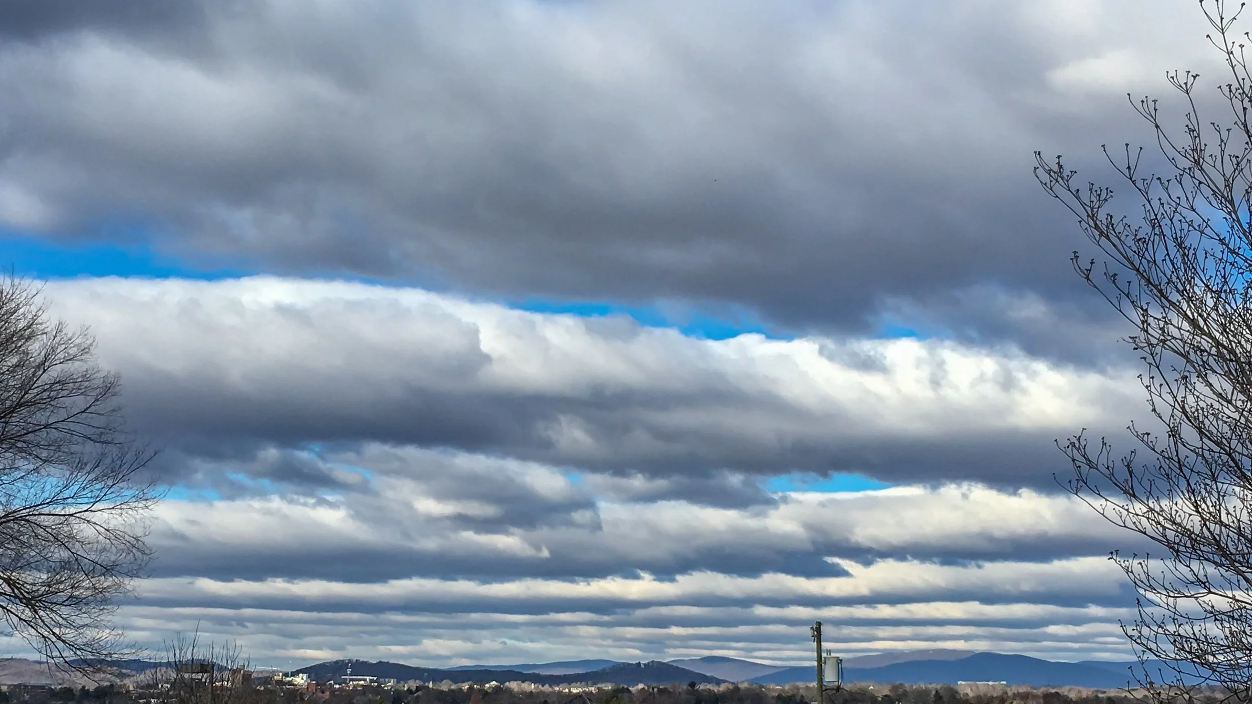
Stratocumulus are low, clustered, lumpy cloud layers that bridge the gap between stratus and cumulus. They form via shallow convection and mixing. Their name arose from 19th- and 20th-century cloud taxonomy, and they are familiar in weather forecasts and landscape art.
-
Nimbostratus Clouds
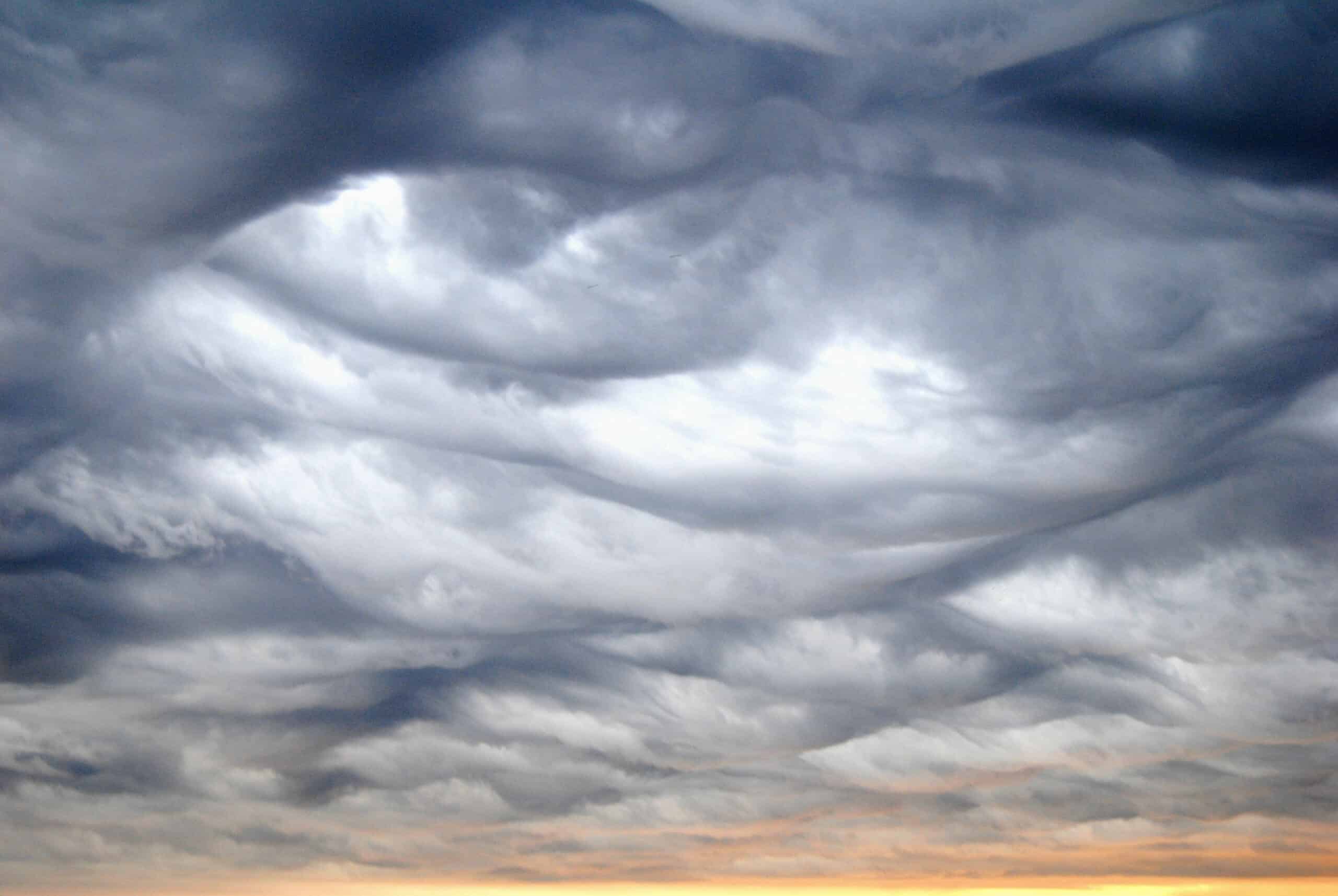
Nimbostratus are thick, opaque, precipitating layers of cloud that produce steady rain or snow. They form in broad lift regions and may span much vertical depth. The name comes from later refinements to Howard’s schema and serves as a core genus in modern meteorology.
-
Stratus Clouds
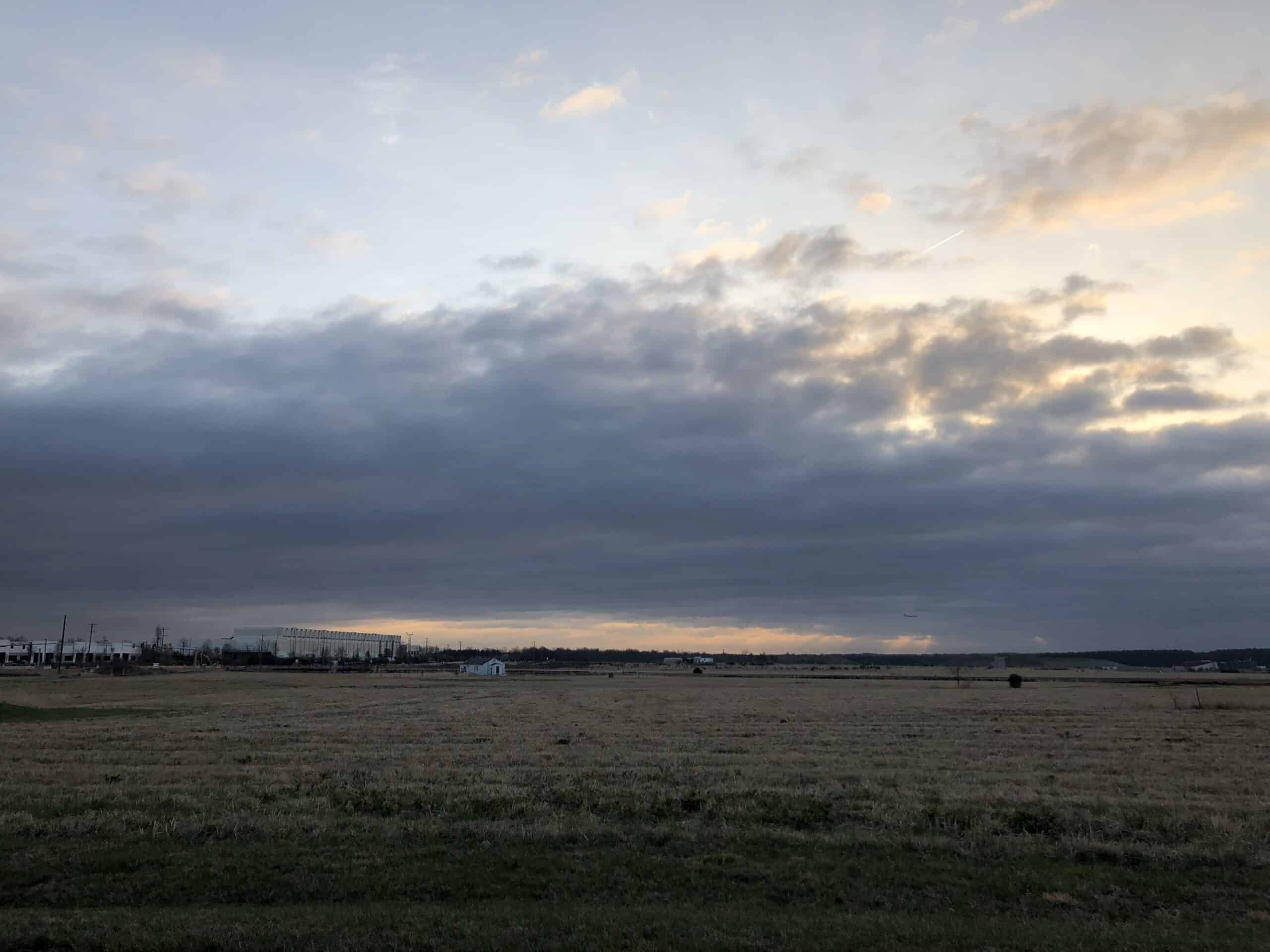
Stratus are low, uniform cloud sheets often producing drizzle or mist. They form under stable, humid conditions with minimal uplift. The name has classical roots and features in everyday speech and literary descriptions of dull or overcast skies.
Clouds with Vertical Development
-
Cumulus Clouds
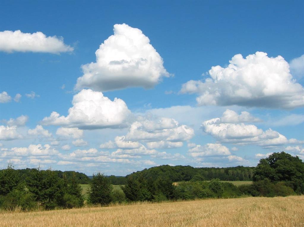
Cumulus are low, puffed, convective clouds formed by surface heating and uplift. They have flat bases and variable tops. The name was coined in the early 19th century and is widely familiar in art, and literature.
-
Cumulonimbus Clouds
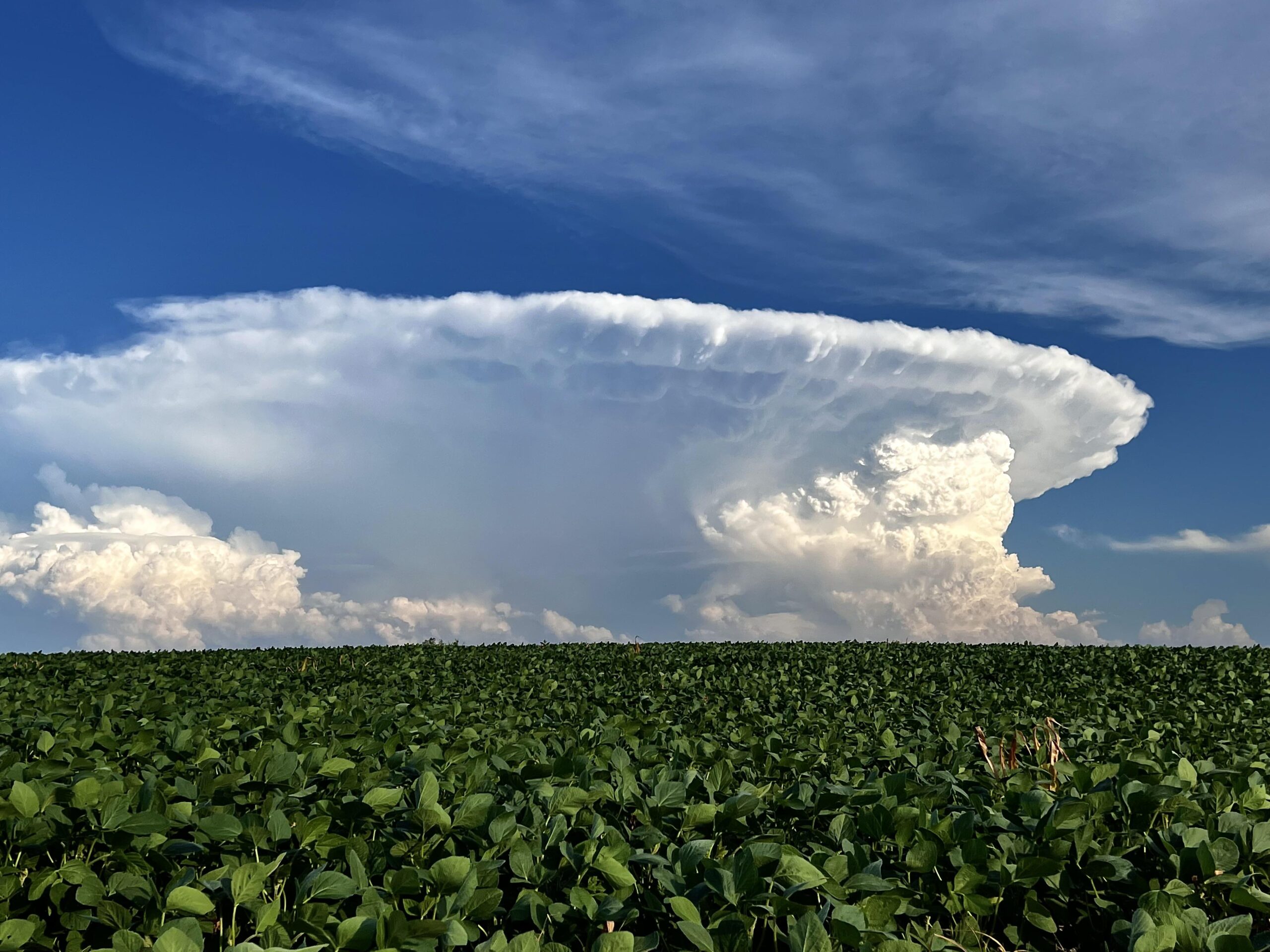
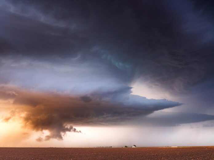
Cumulonimbus are massive, convective, rain-producing clouds with substantial vertical extent and storm potential. They form in unstable, moist conditions and were formalised in cloud atlases; they appear frequently in art and storm literature.
Summary of Meteorological Significance
The ten major cloud types provide a framework for understanding atmospheric dynamics:
- High-level clouds reveal upper-tropospheric moisture and the approach of large-scale weather systems.
- Mid-level clouds indicate intermediate instability, frontal progression, or potential convective development.
- Low-level clouds reflect near-surface stability, horizontal spreading, and light precipitation.
- Clouds with vertical development signal strong convection and severe weather potential.
By observing these clouds, meteorologists can infer temperature profiles, moisture distribution, and vertical motion, supporting short-term forecasts and climate research.
Visual Identification and Observation
Identifying cloud types involves assessing altitude, shape, structure, and texture:
- Cirrus: thin, wispy, high-altitude streaks.
- Cirrostratus: transparent, veil-like layers producing halos.
- Cirrocumulus: small, rippled patches at high altitudes.
- Altostratus: uniform grey mid-level sheets.
- Altocumulus: mid-level cloudlets in patches or waves.
- Stratus: low, uniform grey layers.
- Stratocumulus: low lumpy layers or patches.
- Nimbostratus: thick, dark clouds producing steady rain.
- Cumulus: heaped clouds with flat bases.
- Cumulonimbus: towering clouds with an anvil top, often producing severe weather.
Observation techniques include naked-eye identification, photography, ground-based cameras, and satellite imagery, which can enhance recognition and monitoring.
The ten major cloud types as classified by the World Meteorological Organization (WMO), represent the visible manifestations of atmospheric processes at different heights, compositions, and dynamics.
They provide critical insight into weather patterns, precipitation potential, and atmospheric stability.
High-level clouds, such as cirrus, cirrostratus, and cirrocumulus, reveal moisture in the upper atmosphere and signal approaching weather systems.
Mid-level clouds like altostratus and altocumulus offer indications of instability and frontal progression.
Low-level clouds, including stratus, stratocumulus, and nimbostratus, describe stable air and potential light or continuous precipitation.
Clouds with vertical development, cumulus and cumulonimbus, demonstrate convection and are closely associated with severe weather phenomena.
By combining visual observation with technological tools such as radar and satellite imagery, meteorologists are able to classify clouds consistently and interpret atmospheric conditions accurately.
The ten cloud types form the foundation of modern meteorology, linking centuries of observational science, from Luke Howard’s pioneering classification to today’s global weather monitoring networks.