

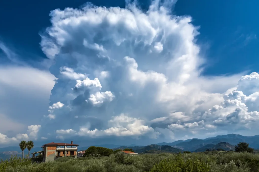
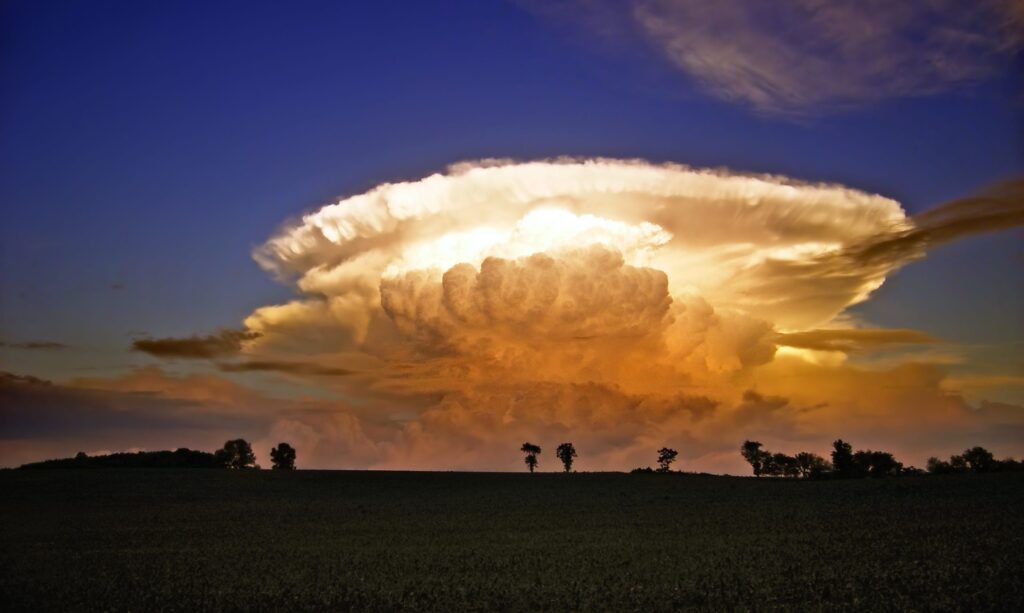
Cumulonimbus clouds are towering, vertically developed clouds capable of producing heavy rain, hail, lightning, and storms. They combine features of cumulus and nimbus, often with an anvil top of ice crystals.
They form in strongly unstable, moist environments with vigorous convection. Air parcels ascend to great heights and condense as they rise; latent heat release supports continued upward motion.
The anvil forms when the upper levels cap the rising column, spreading ice crystals horizontally.
- Height: Bases ~2,000–5,000 ft; tops can reach 40,000+ ft
- Look: Huge, towering columns with anvil-shaped tops
- Name meaning: Cumulus = heap, Nimbus = rain
- Rain: Heavy rain, thunderstorms, hail, snow, severe weather
What do Cumulonimbus clouds look like?
They start out like big cumulus clouds but grow taller and taller until they look like massive towers. At the top, strong winds spread the cloud into a flat “anvil” shape that often points in the direction the storm is moving.
How do they form?
Cumulonimbus form when warm, moist, unstable air rises rapidly through the atmosphere. This strong upward motion builds a cloud that stretches through multiple levels of the sky.
What weather do they bring?
These are the storm-makers. Cumulonimbus clouds produce heavy downpours, thunder, lightning, hail, and sometimes severe weather like tornadoes. They’re the most dramatic and dangerous cloud type.
A history of Cumulonimbus clouds
In Howard’s original scheme, “nimbus” was used to denote rain clouds; cumulonimbus is a later combination of cumulus + nimbus in cloud taxonomy. The Cloud Atlas editions formalised it.
In literature and art, thunderheads (i.e. cumulonimbus) are iconic: e.g. J. M. W. Turner’s paintings of stormy skies often depict dramatic cloud towers.

