
Precipitation That Evaporates Before Reaching the Ground
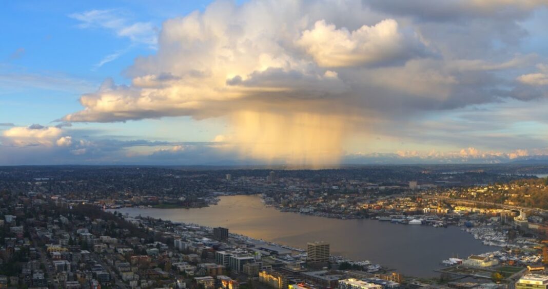
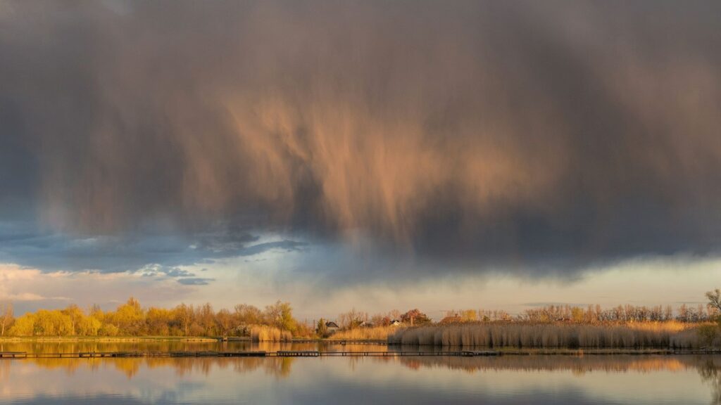
Virga clouds describe the visual effect of precipitation falling from a cloud but evaporating or sublimating before reaching the surface. The result is a pattern of vertical or slanting streaks extending beneath the parent cloud.
Virga is most often observed in regions where the air below the cloud base is warm and dry, preventing rain or snow from reaching the ground.
Detailed Characteristics of Virga Clouds
- Base Altitude: The base of clouds producing virga generally lies between 1,000 and 12,000 metres, depending on the cloud type and atmospheric conditions.
- Top Altitude: The upper limit corresponds to the base of the parent cloud, while the visible virga trails can extend hundreds to over a thousand metres downward before dissipating.
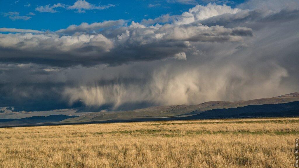
- Shape: Virga takes the form of tapered streaks or wisps descending from the cloud. These may appear diffuse in dry air or more sharply defined in humid conditions.
- Texture: The texture varies with the type of precipitation—raindrops, snowflakes, or ice crystals—and the rate of evaporation.
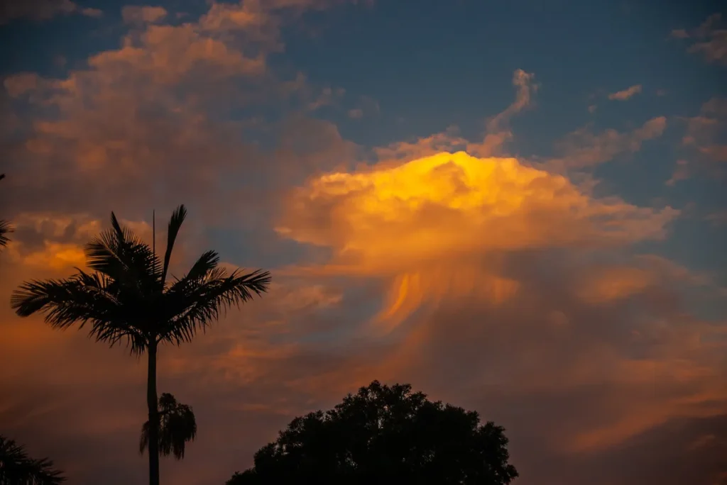
- Colour: Virga is generally white or light grey, though the streaks may appear orange or red at low sun angles due to scattering effects.
- Etymology: The term virga is derived from Latin, meaning “rod” or “streak”, reflecting the elongated trails seen beneath the cloud base.
- Precipitation: The precipitation forming virga does not reach the surface. As it falls into a dry sub-cloud layer, the droplets or crystals evaporate or sublimate, converting from liquid or solid directly to vapour. In certain cases, virga can precede measurable rainfall if the lower atmosphere later becomes more humid.
Formation and Dynamics of Virga Clouds
Virga can form from several different cloud genera, depending on altitude and atmospheric conditions.
It is not a distinct cloud type itself but a supplementary feature that appears beneath various clouds when precipitation evaporates or sublimates before reaching the ground.
Virga most often originates from altostratus, altocumulus, and cirrus-type clouds, but it can appear beneath any precipitating cloud when the sub-cloud air layer is dry enough to cause complete evaporation before the droplets or ice crystals reach the surface.
Virga develops when precipitation from a cloud falls into an unsaturated air layer below. The surrounding air absorbs moisture through evaporation or sublimation, cooling as a result of the latent heat exchange.
This cooling process can produce localized downdrafts, occasionally developing into microbursts when the air descends rapidly.
The occurrence of virga typically indicates a dry lower atmosphere and is often associated with frontal boundaries, convective downdrafts, or dissipating precipitation systems. It provides useful information about vertical humidity profiles and air stability.
Historical Context
Descriptions of rain that vanishes before reaching the ground appear in early meteorological notes and artistic observations. However, the scientific explanation of virga emerged during the development of aerological techniques and radar meteorology in the early to mid-20th century.
Modern radar and lidar systems can now detect virga layers and quantify their vertical extent and rate of evaporation.
The World Meteorological Organization (WMO) classifies virga as a supplementary feature applicable to several cloud genera, including cirrus, altostratus, altocumulus, stratocumulus, and cumulonimbus.
Virga Clouds Observations and Atmospheric Effects
- Optical Effects: The presence of virga can enhance the visual structure of the sky by adding columnar or filamentous streaks below the main cloud layer. During twilight, these streaks can scatter sunlight, producing light pillars or coloured shafts.
- Microbursts: In cumulonimbus systems, the evaporative cooling caused by virga can accelerate descending air parcels, leading to sudden downdrafts with hazardous surface winds.
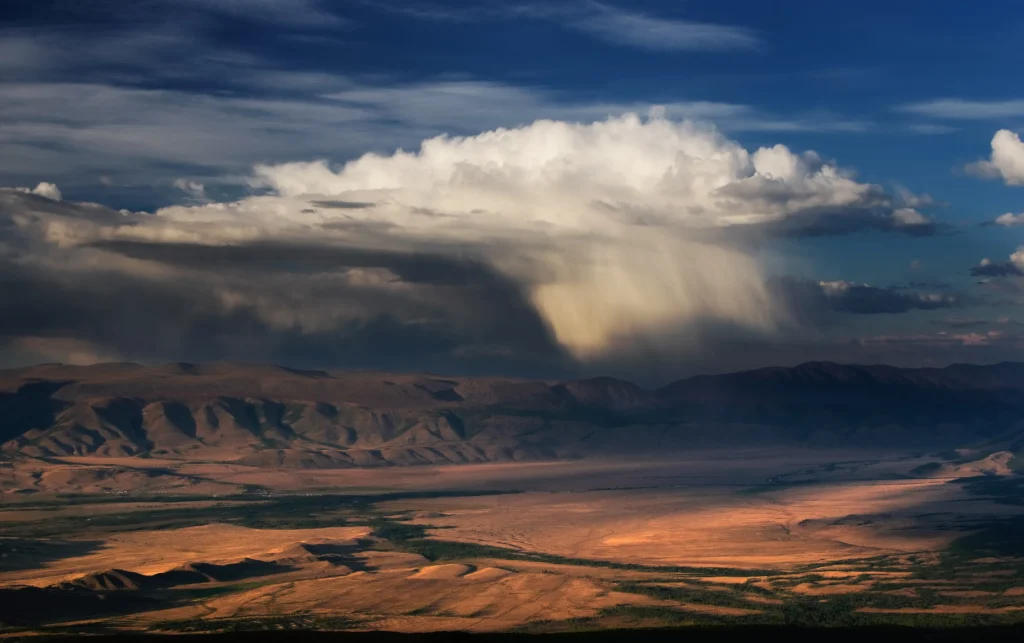
- Geographical Distribution: Virga is frequently observed in semi-arid and desert regions such as central Australia, the southwestern United States, and North Africa, where high surface temperatures and low relative humidity promote evaporation.
Distinction from Similar Phenomena
- Praecipitatio: Refers to precipitation that reaches the ground, in contrast to virga.
- Fallstreak Holes: Occur when ice crystals form and fall from a supercooled cloud layer, creating gaps, but involve freezing processes rather than evaporation.
- Mammatus Clouds: Consist of pouch-like downward protrusions beneath cumulonimbus anvils, whereas virga consists of linear, descending streaks.
Additional Considerations
- Meteorological Significance: Virga contributes to vertical mixing of moisture and influences local lapse rates through cooling.
- Aviation Relevance: The presence of virga indicates wind shear and potential downdrafts, both important for flight safety assessments.
- Forecasting Applications: Persistent virga suggests a dry lower atmosphere but may also indicate approaching precipitation if the humidity profile changes.
Virga clouds illustrate the interaction between precipitation, humidity, and vertical air motion within the lower atmosphere.
Although no precipitation reaches the surface, the evaporation process modifies local thermodynamics and can generate significant air movement.
The observation of virga serves as an indicator of dry air layers, potential downdrafts, and atmospheric instability, providing valuable data for both meteorologists and aviators.