

Overview of Fractus Clouds
Fractus clouds are small, ragged fragments that form beneath or along the edges of larger cloud bases such as cumulus or stratus.
Commonly called scud clouds, they appear tattered and ever-changing, shaped by turbulent air currents and fluctuating humidity.
These wispy remnants form when rising moist air meets cooler pockets, causing condensation in uneven patches.
Their fleeting, shredded look reflects the unstable conditions within the lower atmosphere, where wind shear and evaporation continually break them apart and rebuild them.
Details
Height: Bases from 500 to 8,000 feet (150–2,500 metres), depending on type.
Look: Shredded, ragged pieces drifting beneath larger clouds.
Name meaning: From Latin fractus, meaning “broken” or “fragmented.”
Rain: Usually none, though often accompany showers.
Types of Fractus Clouds
The two main types are cumulus fractus, which are taller and lighter, and stratus fractus, which are flatter and darker.
Cumulus Fractus
Cumulus fractus are the more buoyant and upright of the two types. They often form beneath developing cumulus clouds, showing bright white or light grey tones as sunlight filters through their uneven structure.
These fragments mark areas of active convection, where warm air is still rising but lacks the strength to create full cumulus towers.
Cumulus fractus often serve as visual indicators of atmospheric instability and can merge into larger cumulus clouds when updrafts strengthen.

Stratus Fractus
Stratus fractus are flatter, darker, and tend to form beneath layered cloud decks such as stratus or nimbostratus.
They appear as low, wind-torn shreds drifting quickly across the sky, often following passing rain showers or during the dissipation of a storm.
Unlike the more vertical cumulus fractus, stratus fractus signify stable but moist air conditions near the surface. Their dull grey tones and horizontal form often give the sky a gloomy, unsettled look, and they may combine with other low-level clouds to create widespread, featureless overcast layers.
What Do Fractus Clouds Look Like
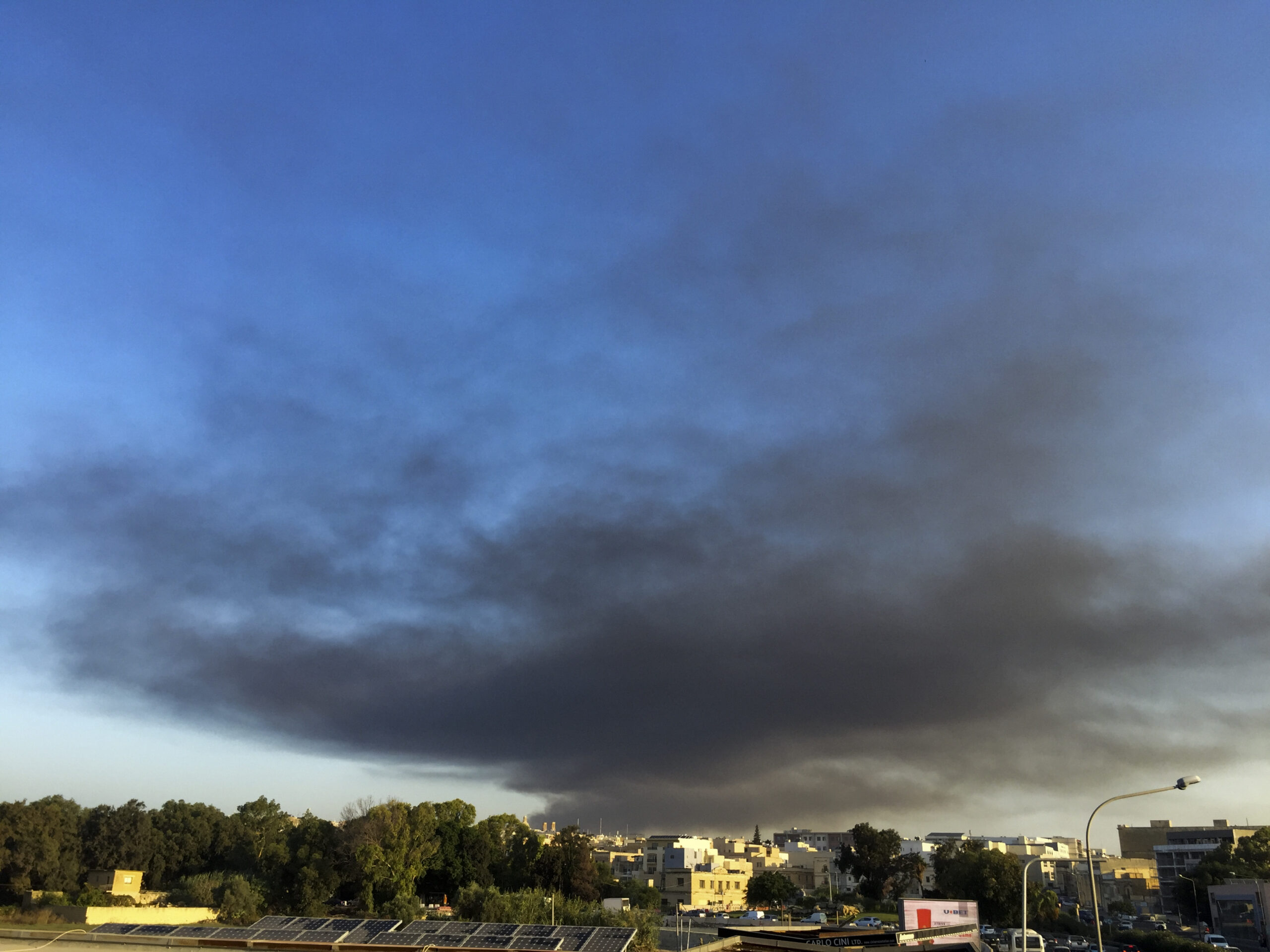
Fractus clouds look like tatters of vapour, constantly forming and dissolving. Their edges are diffuse, and they can appear dark grey when viewed against brighter backgrounds.
In mountainous terrain or stormy conditions, fractus clouds cling to ridges or scud rapidly beneath rain clouds.
A History of Fractus Clouds
Fractus forms were among those described by Luke Howard in the early 1800s under Nimbus and Cumulus fractus.
They were formally recognised as a supplementary feature in the International Cloud Atlas to describe fragments detached from their parent clouds.
Further Information
Fractus clouds develop in turbulent, moist air where condensation and evaporation occur rapidly. They can indicate gusty conditions and variable humidity.
Two main types exist: Cumulus fractus, associated with fair-weather convection, and Stratus fractus, linked to precipitation or frontal systems.
Observing their motion helps meteorologists assess low-level wind direction and gust front position.
Though ephemeral, fractus clouds serve as visible tracers of atmospheric turbulence and boundary-layer processes.

