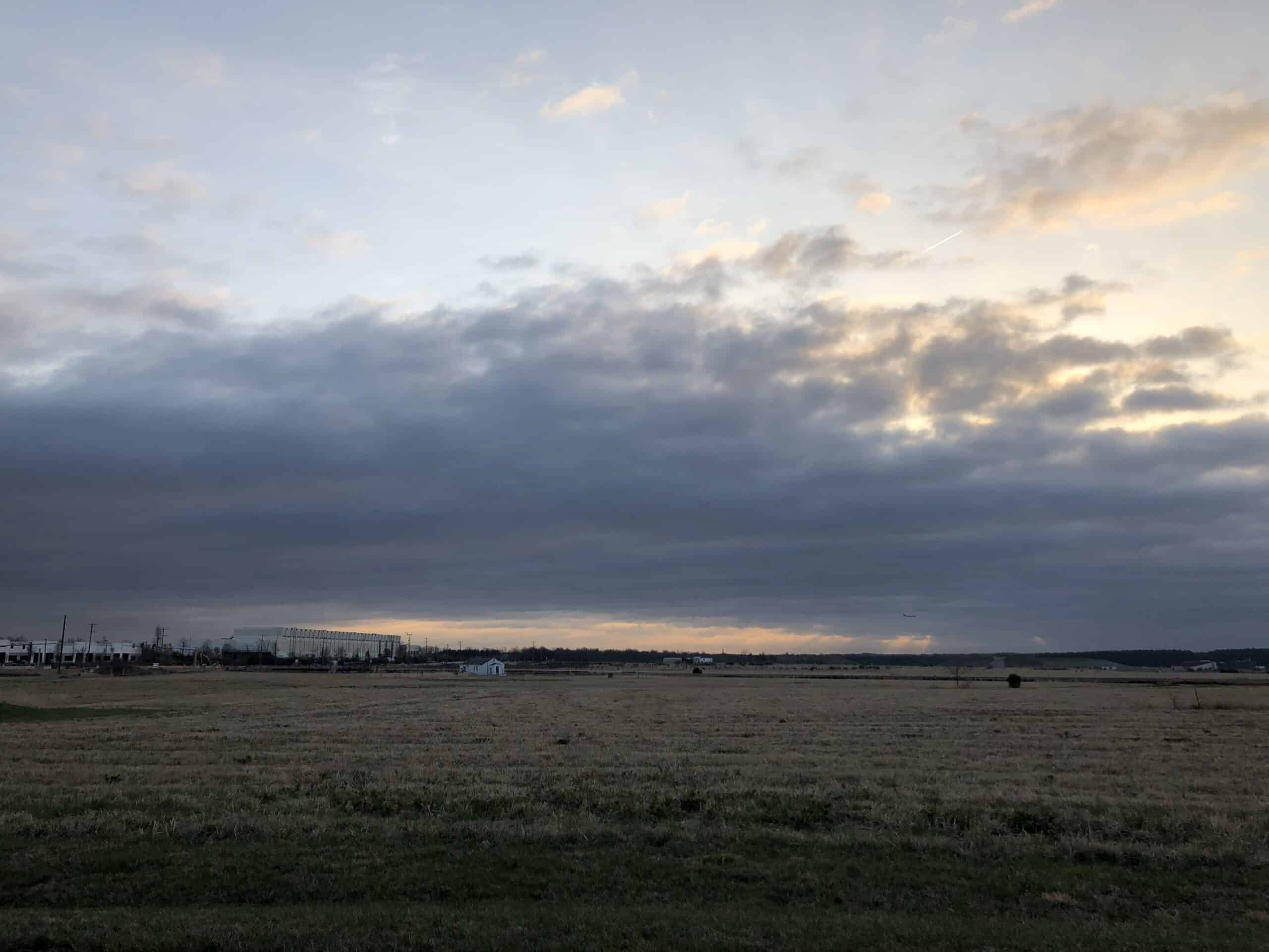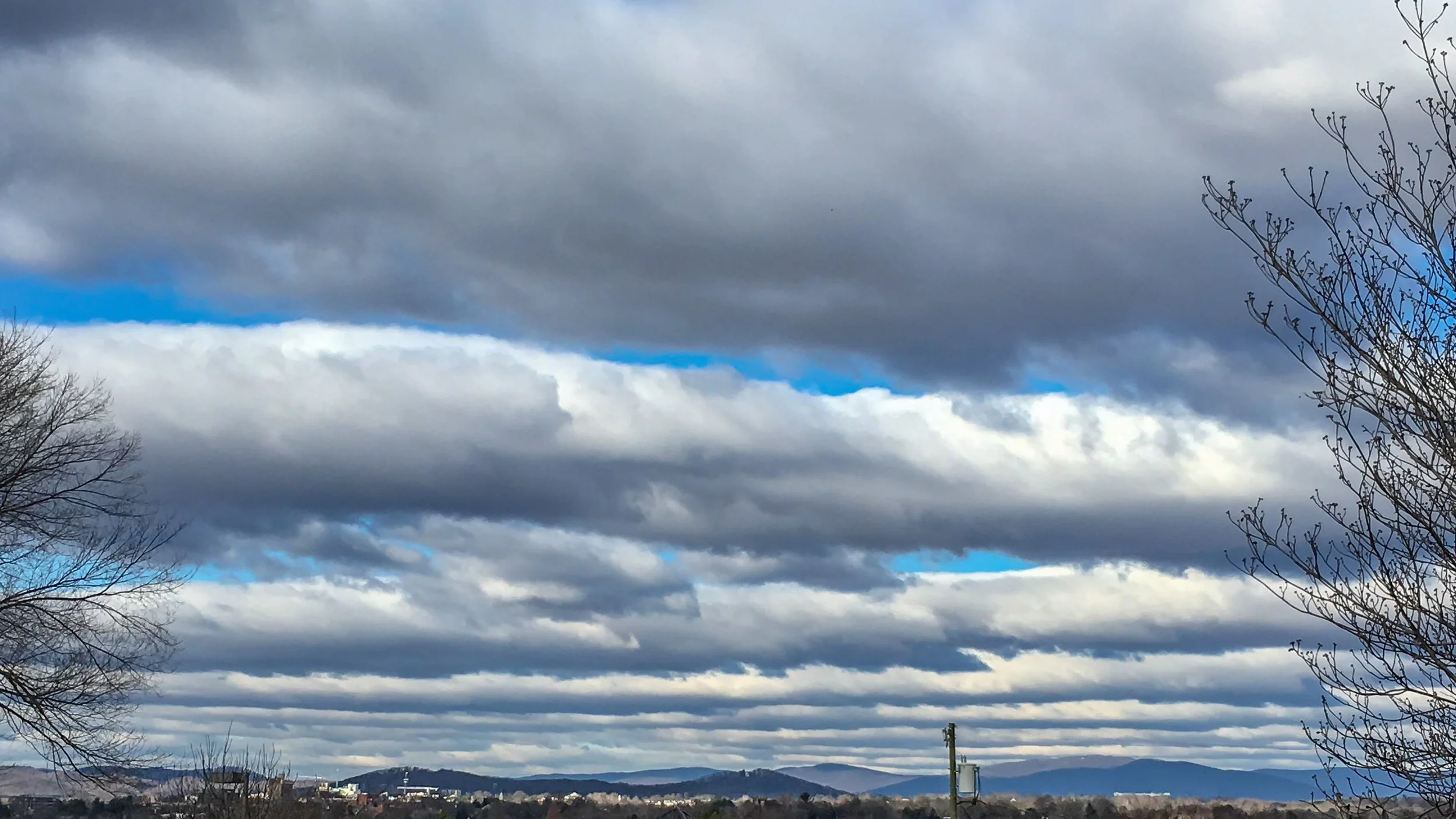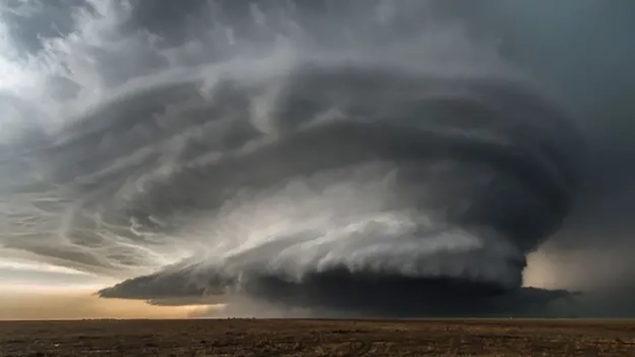

Murus clouds, commonly referred to as wall clouds, are dramatic, vertically oriented cloud features that form beneath the base of a severe thunderstorm, usually a supercell cumulonimbus cloud.
They are characterised by a concentrated, lowering base that can rotate and serve as a precursor to tornado formation.
Wall clouds are typically observed in regions of strong convective activity and are an important visual indicator of storm intensity and potential severe weather.
Characteristics of Murus Clouds
- Base Altitude: Murus clouds generally form at low levels, often between 300 and 2,000 metres above ground. Their base is significantly lower than the main cloud deck, making them highly visible and imposing.
- Top Altitude: The top of a murus cloud merges with the main cumulonimbus updraft, often extending several hundred metres vertically, depending on storm strength.
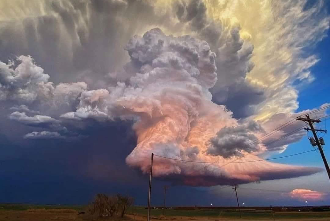
- Shape: Murus clouds are vertical, wall-like formations that descend from the main thunderstorm cloud base. They often appear as a lowering, dense column with a flat or slightly rounded underside.
- Texture: The cloud surface can vary from smooth to ragged, often showing turbulent, rotating elements caused by strong wind shear and storm inflow.
- Color: These clouds are usually dark gray or bluish-gray, reflecting the high concentration of moisture and the shadowing from the main storm cloud.
- Etymology: The term “murus” comes from Latin, meaning “wall”, which accurately describes the cloud’s vertical, wall-like appearance that extends beneath the thunderstorm base.
- Precipitation: Murus clouds themselves do not produce rain directly. However, they are part of severe storm systems, and heavy precipitation typically occurs nearby or around the main cumulonimbus cloud. Their presence is often associated with hail, strong winds, and potential tornado formation.
Formation and Dynamics of Murus Clouds
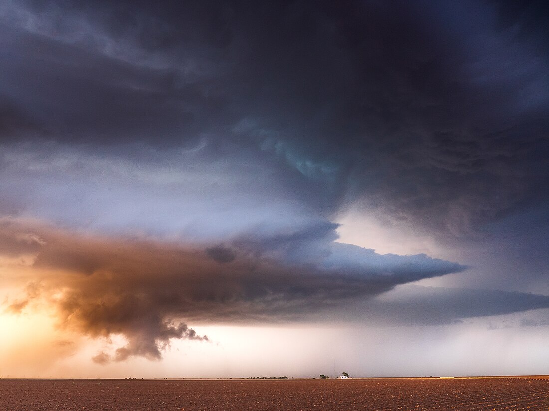
Murus clouds form in association with supercell thunderstorms, where a strong, rotating updraft lifts warm, moist air from the surface into the storm.
This mesocyclone creates a region of intense rotation beneath the storm base. The cloud lowering that develops here is the murus, which often aligns with the storm inflow region where warm, moist air rises and cools rapidly.
The formation of murus clouds indicates strong vertical wind shear and an environment conducive to severe weather, including tornadoes.
They are closely monitored by meteorologists and storm spotters as part of early warning systems.
Historical Context
Murus clouds have been observed and documented for decades, but their classification as a distinct accessory cloud feature was formalized in modern meteorology through detailed storm studies and photographic documentation.
Their role in severe weather forecasting, particularly tornado prediction, has made them an important focus of both scientific research and storm-chasing communities.
Observations and Phenomena
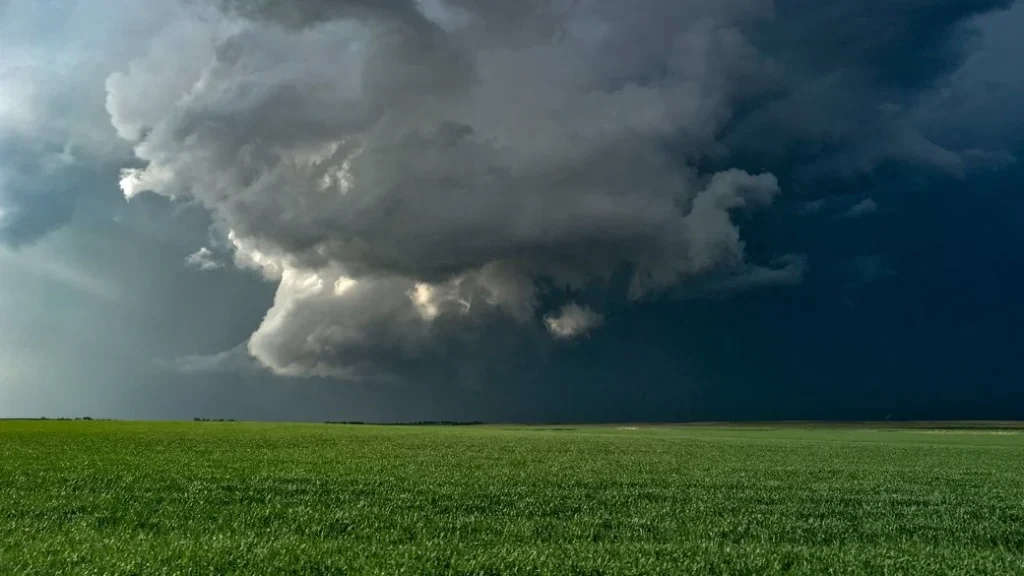
- Tornado Precursors: Murus clouds are often observed directly beneath rotating updrafts and are considered a visual precursor to tornado formation.
- Severe Weather Indicator: The presence of a murus cloud indicates that the storm is well-organized and that atmospheric conditions are highly unstable, with strong low-level inflow and potential for extreme weather.
- Visual Characteristics: Murus clouds appear as dark, dense, and vertically lowered structures beneath the thunderstorm base. Their size and shape can change rapidly due to the storm’s dynamics.
Distinguishing Murus Clouds from Similar Cloud Form
- Cauda Clouds: Unlike cauda clouds, which are horizontal, tail-like inflow features, murus clouds are vertical and concentrated beneath the storm base.
- Shelf Clouds: Shelf clouds are attached to the leading edge of storms and are generally non-rotating, whereas murus clouds are closely associated with rotation and severe storm activity.
- Tornado Funnel: While visually similar when rotation is strong, murus clouds are not yet tornadic funnels but can develop into tornadoes under favorable conditions.
Further Information
- Geographic Distribution: Murus clouds are typically observed in tornado-prone regions, including parts of the United States, Australia, and other areas with intense convective storms.
- Scientific Research: Murus clouds are actively studied to improve understanding of storm dynamics, tornado formation, and severe weather forecasting. Observations often involve high-resolution photography, radar, and Doppler measurements to capture rotation and inflow patterns.
Murus clouds are a striking and important feature of severe thunderstorms, particularly supercells.
Their vertical wall-like structure, association with strong storm inflow, and potential to precede tornado formation make them a critical cloud feature for both meteorologists and storm spotters.
Understanding murus clouds enhances the ability to predict severe weather and underscores the dynamic complexity of the Earth’s atmosphere.