Stratocumulus Clouds

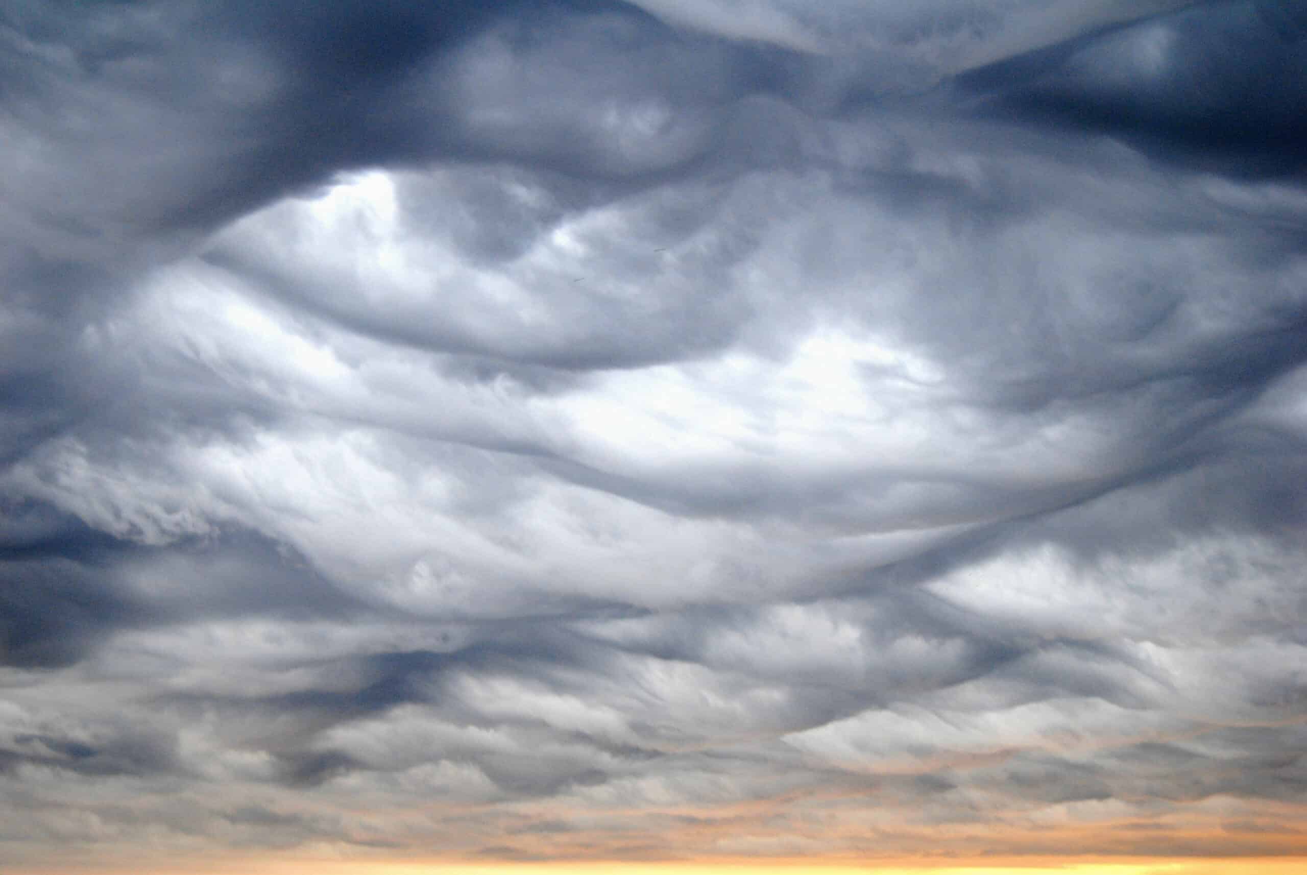
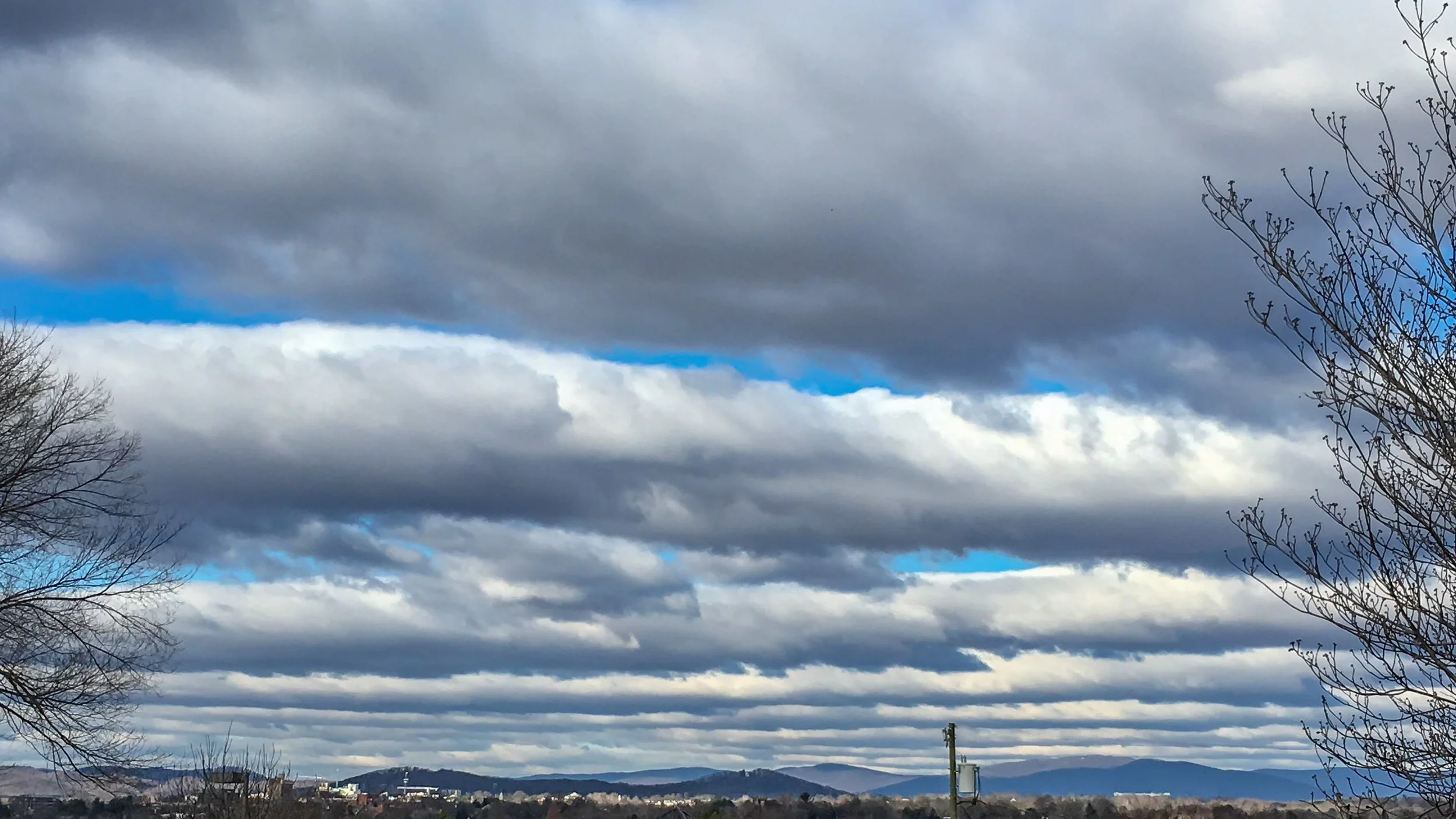
Stratocumulus clouds are low, lumpy layers of cloud that often cover the sky in patches. They look more textured than stratus, but less towering than cumulus.

  • Height: Ground level to ~6,500 ft
  • Look: Lumpy, gray or white patches in layers
  • Name meaning: Stratus = spread out, Cumulus = heap
  • Rain: Rare, but may bring light drizzle

What do Stratocumulus clouds look like?

Stratocumulus often form a sky full of rounded rolls or clumps, usually gray with some brighter gaps where sunlight peeks through. Unlike higher altocumulus, the clumps are much bigger and closer together.
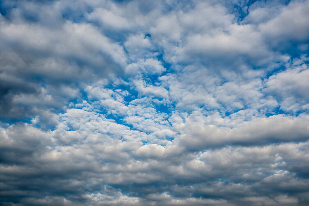
Stratocumulus Clouds

How do they form?

They typically develop when a layer of stratus clouds breaks up, or when rising warm air mixes with cooler air above. This mixing creates the lumpy, rolling look.

What weather do they bring?

Stratocumulus rarely lead to heavy rain. At most, they might produce a little drizzle or light snow. Often, they’re just a sign of settled, cool weather.

A history of Stratocumulus clouds

The common name is stratocumulus (Sc). They are frequently seen in overcast, but non-rainy conditions.

Again, the name derives from Howard’s cumulo / strato naming tradition extended by meteorologists.

The WMO cloud atlas further codified it. In everyday language, these are often called “low broken clouds” or “lumpy overcast” in weather forecasts; in photography and painting, stratocumulus layering is common in seascapes or moody skies, though I did not find a precise first citation.

Tony S.
Tony is based in Australia and focuses on how false conspiracy theories spread and harm society, with an emphasis on clear facts and critical thinking.

Related

Altocumulus Clouds

Altocumulus are mid-level, patchy, somewhat convective clouds forming in moist layers with slight instability. They often show patterns or grouping. Their name originated in the 19th-century expansion of cloud classification, though clouds of this sort were long observed in art and literature.

Cirrostratus Clouds

Cirrostratus are high, veil-like ice-crystal clouds that spread diffusely and often produce halos around the sun or moon. They form under gentle ascent near warm fronts. Their name solidified in standard cloud atlases from the late 19th century, and they feature in halo folklore.

Counting the Cost of a Nationwide Chemtrail Programme

What would it actually take to run a nationwide US “chemtrail” operation? Our analysis reveals the staggering logistics — 165 aircraft, thousands of workers, and billions of dollars each year. The numbers tell their own story.

Atmospheric Gravity Waves

Atmospheric gravity waves are like the ripples that spread across a pond after a stone is dropped, except they move through air instead of water. When air is pushed upward by mountains, storms, or weather fronts into a stable layer of the atmosphere, gravity pulls it back down.

Arcus Clouds

Arcus clouds are dramatic, low-level horizontal formations that appear along the leading edges of thunderstorms or gust fronts. They occur in two principal forms: shelf clouds and roll clouds.

HAARP, 5G, and Weather Manipulation

Claims that HAARP or 5G can manipulate the weather ignore basic physics. HAARP is a research facility that studies radio waves interacting with the ionosphere, far above where weather forms, while 5G uses low-power radio signals comparable to those from existing mobile networks.

Featured

Counting the Cost of a Nationwide Chemtrail Programme

What would it actually take to run a nationwide US “chemtrail” operation? Our analysis reveals the staggering logistics — 165 aircraft, thousands of workers, and billions of dollars each year. The numbers tell their own story.

Why Contrails Can Linger and Spread

Contrails can linger and spread because they are essentially man-made cirrus clouds formed from ice crystals at high altitude. A cloud is made of water vapour, just like a contrail. Therefore if a cloud can linger, so can a contrail. When an aircraft’s hot exhaust mixes with cold, humid air, the resulting condensation freezes, creating thin white trails.

The Logistics of Secrecy: The Impossible Scale of a Chemtrail Programme

This article examines the chemtrail conspiracy through physics, engineering, and economics. It shows that a nationwide spraying programme would require hundreds of aircraft, thousands of staff, and billions in funding—leaving clear evidence. The science of contrails fully explains the phenomenon without invoking any secret aerosol operation.

The chemtrail conspiracy would collapse within a few years

Physicist David Grimes’s 2016 mathematical model shows that large conspiracies such as Chemtrails inevitably unravel through leaks. His analysis demonstrates that a secret global spraying programme involving thousands of people over decades is statistically implausible.

Cloud Seeding: You can’t Just Make Rain

It is impossible to manufacture rain, which depends on water vapour in the atmosphere. This is supplied by heat and evaporation from the Earth’s surface. Only when moist air cools and condenses into clouds is there potential for rain. Techniques such as cloud seeding cannot create this water; they can only encourage raindrops to form in clouds that are already primed to produce rain.

Cloud Seeding is Not Chemtrails

Cloud seeding and so-called “chemtrails” are fundamentally different, though often confused in conspiracy circles. Cloud seeding is a small-scale, scientifically documented technique in which aircraft introduce minute amounts of silver iodide into existing clouds to encourage rainfall; it does not involve spraying chemicals into clear skies, nor does it leave visible white streaks. Chemtrails.

Popular Categories

Previous article
Next article